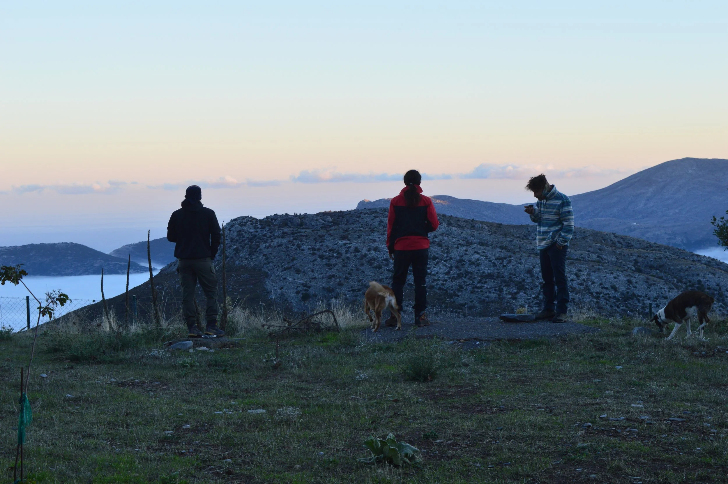
Discover the natural beauty of Eastern Crete, where mountain plateaus, dramatic gorges, ancient forests, hidden caves and traditional rural landscapes reveal a different side of the island. From the fertile plains of the Lasithi Plateau to the impressive canyons and woodland trails of the surrounding mountains, this region offers countless opportunities for exploration, outdoor activities and authentic experiences. Explore the most remarkable natural places around Agios Nikolaos and discover the landscapes that make this part of Crete so unique.

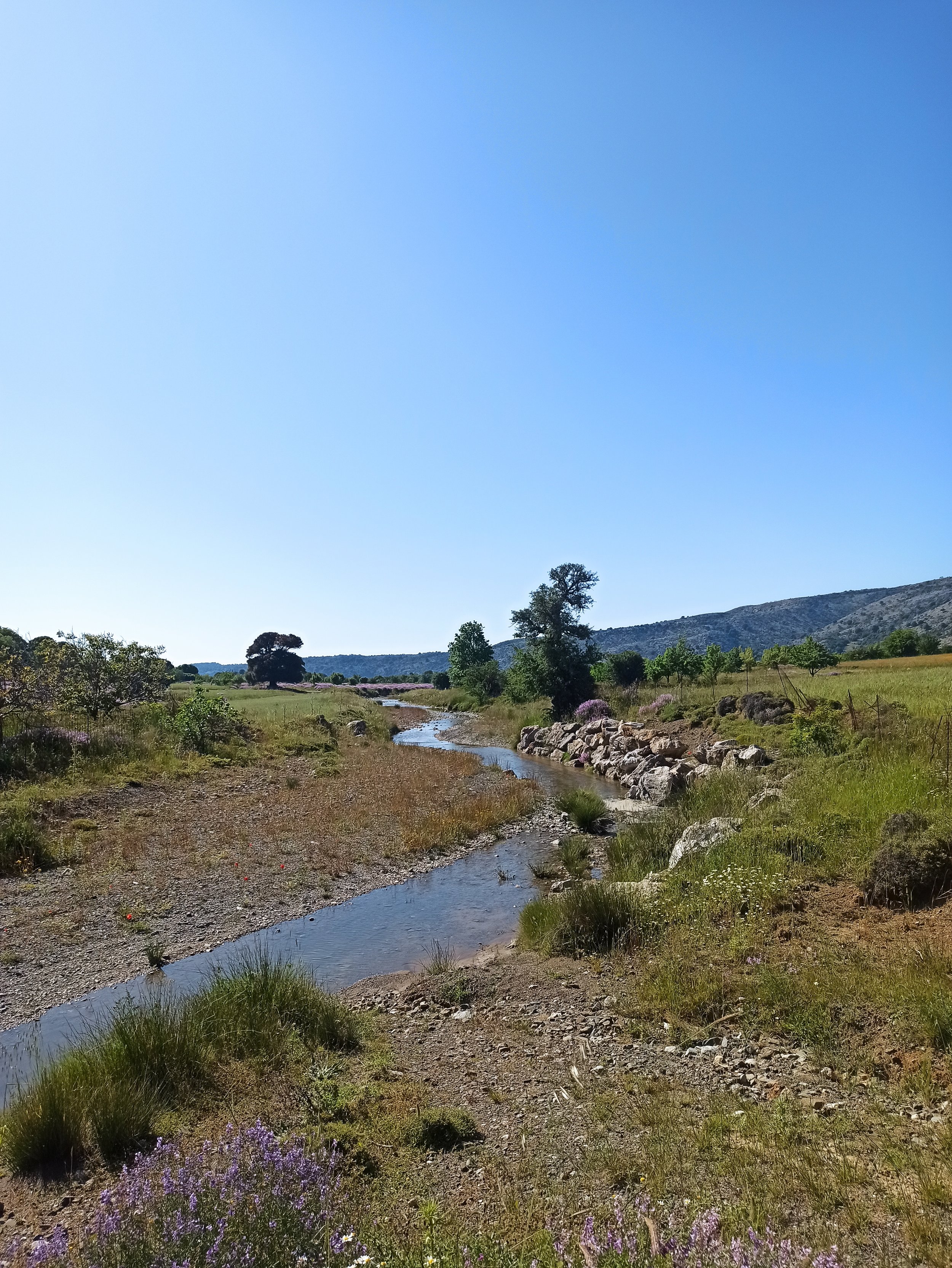

Kritsa gorge

Richtis Gorge (Greek: Φαράγγι του Ρίχτη, Faraggi tou Richti) is a gorge in Crete, Greece (Map of Richtis Gorge here). It is a state protected park near Exo Mouliana, Sitia, eastern Crete (Greece) that starts at the traditional village Exo Mouliana, which is located on the national road between Agios Nikolaos and Sitia and ends at the secluded Richtis beach, just east of the village Kalavros. The hiking trail is about 4 km in length of moderate (spring/summer/autumn) to hard (winter) difficulty.
Richtis Gorge

Sarakina gorge
The Sarakina Gorge (also Myrtos Canyon, after the nearby coastal village of Myrtos) is a canyon in the southeastern part of Crete, Greece. It is located about 15 km west of Ierapetra and a few kilometres upcountry of Myrtos, near the small village of Mithi. Its length is about 1.5 km and the width between 3 and 10 meters, only at a few point it reaches more. The height of the walls peaks at approximately 150 m. The river of Kriopotamos flows through the gorge, which carries water at varying levels during the year, due to moist winters and arid summers.

Paschalígo
A nice small forest up from Neapoli - Voulismeni.

Drasi Park - Water Fountain
Its has fresh water from fountain all year around a very nice place for picnic!

The Tree is amazing but the little taverna next is worth the journey on its own
THis is an amazing olive tree just huge and soooo old its almost incomprehensible how old it is. The road is a little scary but dont be put off its never that bad and its not one these roads that gets worse and worse and you can turn round
If you like a fairly tough hike it makes a good focus.
Kavousi ancient olive tree

Milatos cave
Milatos cave lies in a steep gorge, NE of the village that bears the same name. It has been connected with the historical events of 1823. Here 3,700 women and children sought refuge after escaping the fierce troops of Hassan Pasha. After a long siege and a forced surrender, they were massacred by the Turks. Stalactites and stalagmites abound in the cave. A chamber in its southern part harbours a chapel wherein a mass is celebrated once a year, on the feast day of Agios Thomas in commemoration of the massacred Cretans.

In the area of the park (which has a future size ca. 4 sq km) 77 Minoan sites are situated, with 20 of the ruins still standing 1,5 m or higher. These finds were documented by Sabine Beckmann between 2003 and 2012.
Kroustas Forest Historical Park - Panoramic Bay View

The cypress wood of Kritsa is located about 10km west of Kritsa village, very close to the asphalt road that heads to the plateau of Katharo. It is formed across a deep ravine, at the southern foot of Mount Tsiva. The forest is in the middle of the ancient path that led Minoans to the plateau of Katharo, with many Minoan pottery remains found here.
The kernel of the forest is covered by cypress trees, and its surrounding vegetation consists of cypress, oak, maple, holly, wild olive and holm oak trees.